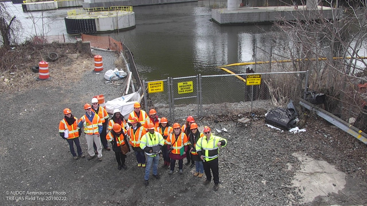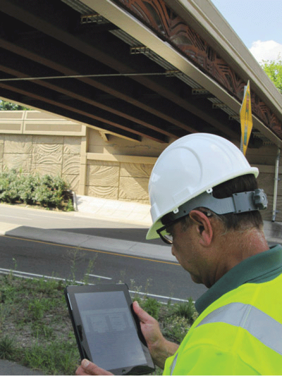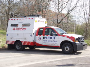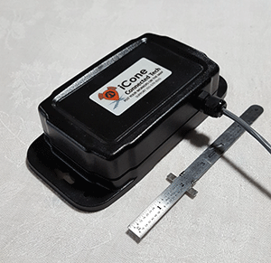
NJDOT’s top priority is to improve highway safety. To support this goal, in September 2018, New Jersey began a pilot study of the effectiveness of using connected vehicle technology to alert the motoring public to the presence of safety service patrol (SSP) workers at incident sites. With the support of the NJ State Innovation Council (NJ STIC) and a STIC Incentive Funding grant of $39,600 awarded by FHWA, NJDOT piloted the use of Beacon Hazard Lights technology on 32 safety service vehicles to alert drivers to the presence of workers via the mobile navigation app Waze. The device, which is produced by iCone, uses GPS location and wireless communication technology to transmit the location of the SSP vehicles to the iCone Data Server in the cloud where it can be picked up by Waze. Together with the New Jersey Institute of Technology’s (NJIT) ITS Resource Center, NJDOT published a final report of their findings from the pilot project in December 2019, available here.
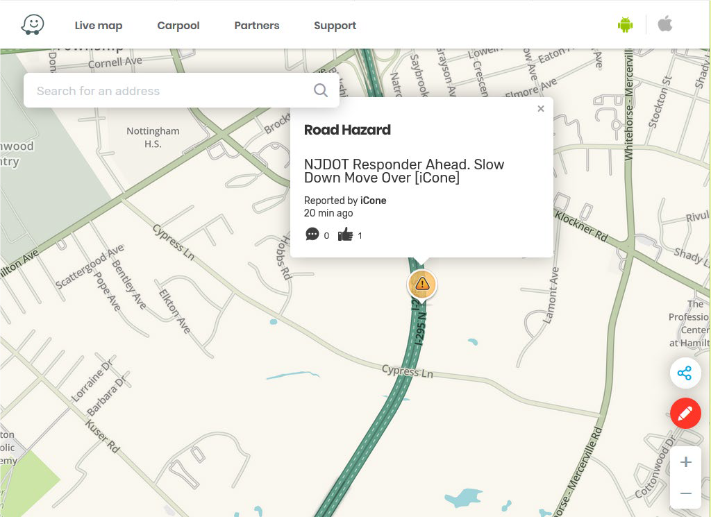
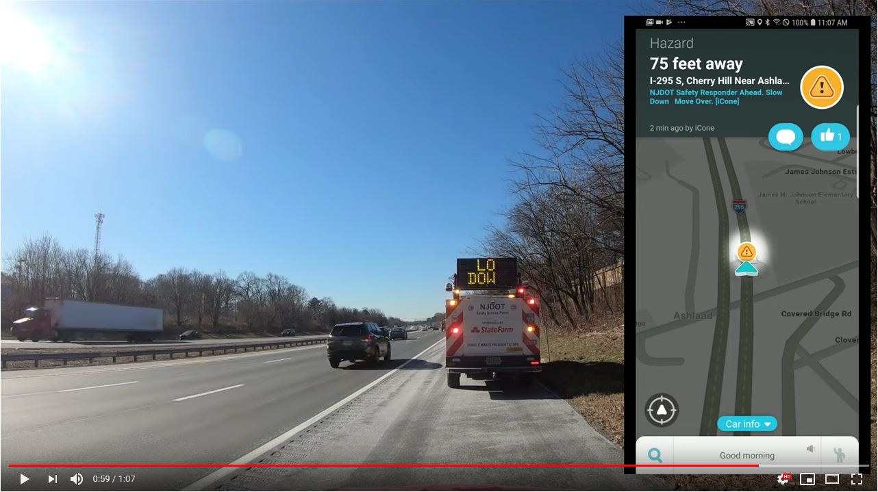
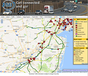
The SSP location and message shown on the Waze.com website. Photo Source: Cowan et al., 2019.
The primary goal of the study was to test the feasibility of the iCone technology on SSP vehicles by analyzing the time elapsed between device activation and Waze notification, to examine the Verizon 4G cellular network strength for potential coverage loss that could result in service disruption in communication, and to analyze the effectiveness of the equipment through several testing means. The methods of evaluation to complete these objectives were field and remote testing of the technology and documentation of the equipment installation and repairs. Field testing was conducted from January to October 2019 by activating the iCone-enabled SSP truck hazard lights and Dynamic Message Board (DMS) at 2-mile intervals along the entire 280-mile SSP coverage area. An analyst conducted remote testing through monitoring of the iCone and Waze web-based interfaces.
The results of field testing showed that, on average, communication with Waze was successful 76 percent of the time, 20 percent of the time the device communicated with the iCone Data Server but not Waze, and the remaining 4 percent of the time the device did not transmit its location to the iCone Data Server or Waze. The average time elapsed from the iCone device activation to its appearance in Waze was 2 minutes and 41 seconds. On two days of testing along the SSP coverage area, there was no communication between the iCone device and iCone Data Server or Waze.
In addition to field testing, analysts conducted remote testing of 85 active instances of the iCone device by observing the iCone and Waze web portals. In 59 percent of these 85 instances, the active iCone device was detected in Waze, with 29 percent of these successful detections showing the exact timestamp in both Waze and iCone. These results were shared with Waze so that the company could address the issues related to missing and delayed data transmission. For equipment evaluation, results showed that by April 2019, 12 of the units had technical problems that were attributed to the winter weather conditions in New Jersey including snow, road salt, and extreme cold. The iCone engineering team was responsive to the issues and re-evaluated the device design so that replaced units could withstand the weather conditions. A prototype of the newly-designed replacement devices was delivered to NJDOT in December 2019 and has been installed in five of the vehicles.
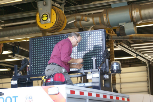
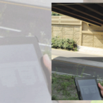
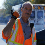
The installation of the device on an SSP vehicle by an iCone technician. Photo Source: Cowan et al., 2019.
The researchers believe that this technology evaluation pilot project was the first of any state DOT to seek to inform the public of SSP patrol vehicle locations with the sole objective of increasing safety. The pilot project provided valuable analysis and lessons learned to inform next steps for NJDOT. Testing and analysis of installed devices and their replacements will continue until the end of the product warranty period on September 1, 2021. Additionally, researchers recommended further investigation of the disruptions and delays in the communication path from the iCone device to Waze. Additional coordination with each technical partner during the steps of the testing process could help to identify the cause of service disruptions.
During the study, NJIT and iCone were unable to obtain Waze data showing how many people clicked the “thumbs up” to the message on the app. Future analysis should investigate how to gather reactions of the motoring public to Waze notifications. The researchers recommended exploring partnerships with crowdsourcing GPS navigation providers to further learn how drivers are reacting, which should include a data transfer process and strategies for reducing latency between iCone data server and Waze.
The Final Report contains additional information on the purpose of the research, the role of various stakeholder organizations in the research, a description of the technology devices and tools procured and used in the research, and the evaluation results. The Final Report was submitted to the FHWA and is available to review here.
Featured Image Source: NJDOT, 2019.