

Research Spotlight: Evaluating the Pedestrian Hybrid Beacon’s Effectiveness: A Case Study in New Jersey
A Pedestrian Hybrid Beacon (PHB) is a signalized, pedestrian-activated device designed to increase crossing safety. A recent study conducted by the New Jersey Bicycle and Pedestrian Resource Center (BPRC), funded by NJDOT, examined the efficacy and public awareness of...
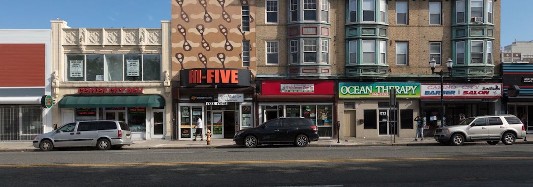
STEP-Aligned HAWK Signal Installed in Bergen County
Every Day Counts (EDC) is an initiative developed by the Federal Highway Administration’s (FHWA) Center for Accelerating Innovation to improve safety along our roadways. Every two years, EDC identifies a number of highway safety innovations that are then supported for...
EDC-5 STEP: Safe Transportation for Every Pedestrian
On October 30th, the NJDOT Bureau of Research hosted the Lunchtime Tech Talk! Event on “EDC-5 STEP: Safe Transportation for Every Pedestrian.” This event featured Peter Eun, a Transportation Safety Engineer with the Federal Highway Administration’s...
NJDOT Safety Countermeasures Training and Education Videos
The following videos describe six of FHWA’s Proven Safety Countermeasures that improve pedestrian safety. NJDOT developed these videos to train and educate viewers on the design features and safety benefits of these initiatives. FHWA began promoting Proven Safety...
 |