


Exploring the Future of Environmental Product Declarations at NJDOT: Q&A Interview with NJDOT’s Project Lead
Under the FHWA’s Climate Challenge, state DOTs and local agencies receive training and work with various stakeholders including those from industry and academia to implement projects that quantify the environmental impacts of pavements using Life Cycle Assessment...
NJDOT Lunch and Learn: An Inside Look at the Research Library and its Digitization Project
In the 1940s, the State Highway Department (predecessor to the New Jersey Department of Transportation) created its first departmental library for transportation information. For the past 80 years, this depository of relevant transportation articles and materials has...
NJDOT Tech Transfer Newsletter – March 2024

Q&A: NEVI Deployment and GHG Reduction Initiatives
New Jersey Department of Transportation, alongside other state and regional agencies, has embarked on ambitious initiatives to revolutionize its transportation fueling infrastructure through the National Electric Vehicle Infrastructure (NEVI) Deployment and through...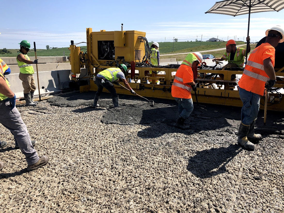
Ultra High-Performance Concrete (UHPC) Applications in New Jersey – An Update
UHPC for Bridge Preservation and Repair is a model innovation that was featured in FHWA’s Every Day Counts Program (EDC-6). UHPC is recognized as an innovative new material that can be used to extend the life of bridges. Its enhanced strength reduces the need for...
 |