


Launching the UAS Program: STIC Incentive Funding Grant—Final Report
Unmanned Aerial Systems (UAS), or drones, were promoted by the Federal Highway Administration (FHWA) as one of the Every Day Counts Round 5 (EDC-5) innovations. In 2017, the NJDOT Bureau of Aeronautics applied for and received a NJ State Transportation Innovation...
Drone Technology at NJDOT
NJDOT’s Unmanned Aerial Systems program in the Bureau of Aeronautics is demonstrating how the adoption of drone technology can serve NJDOT’s goals to increase safety, increase efficiency, save time, and save money. Drones are replacing boots on the ground,...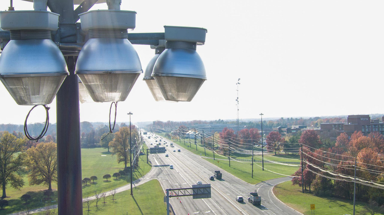
Drone Program Reaches New Heights, Seeks to Go Higher
In May 2016 the New Jersey Department of Transportation’s Division of Multimodal Services established the Unmanned Aircraft Systems (UAS) Program as a unit within the Bureau of Aeronautics. The UAS program coordinator position was created within the Bureau of...
Drone Program Takes Off in Bureau of Aeronautics
The Drone program within the Division of Multimodal’s Bureau of Aeronautics has begun to take shape as staff, funding, and a multitude of innovative ideas have come together. So what does it take to start a new and innovative NJDOT Drone program when it has never been...
 |