FHWA promotes Strategic Workforce Development in highway maintenance, construction and operations.
Strategic Workforce Development, an FHWA Every Day Counts (EDC) Round 6 innovative initiative, anticipates collaboration between government agencies, trade organizations, private agencies and communities to prepare individuals for the construction workforce. The demand for workers in highway maintenance, construction and operations is growing, as is the demand for new skill sets required for work with emerging technologies. An important element of this initiative is the recruitment and retention of women and minorities in the construction sector. Through on-the-job training and supportive services program, NJDOT is exploring ways to work with contractors, contracting associations, and unions on shaping their future workforces, including programs aimed at increasing representation of women, minorities, and other disadvantaged populations in the construction and operations workforce.
We spoke with Greg Lalevee, Business Manager, International Union of Operating Engineers (IUOE) Local 825. The organization is collaborating with Hudson County Community College (HCCC) on a newly established apprenticeship program and is undertaking other IUOE initiatives focused on workforce development in highway construction and related fields.
Background
Q. Can you tell us a little about your role with the union?
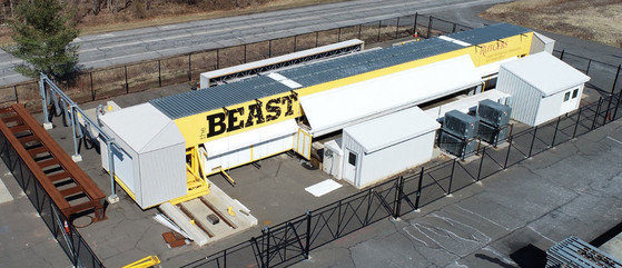
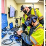
I am the Business Manager for the International Union of Operating Engineers (IUOE) Local 825. The jurisdiction of IUOE Local 825 is the State of New Jersey and the Hudson Valley (Rockland, Ulster, Sullivan, Orange, and Delaware Counties). We are heavy equipment operators, working on buildings, bridges, roadways, ports, airports, utility infrastructure, power generation, and reservoirs around the state such as Round Valley, Spruce Run, and Mercer Lake that ensure our water supply and serve for passive recreation. There isn’t much that an ordinary person does that operating engineers did not have something to do with. We have a 61-acre training center at exit 8A on the NJ Turnpike and a 51-acre training center in the Hudson Valley. I am also one of the vice-presidents for IUOE International, which covers the US and Canada.
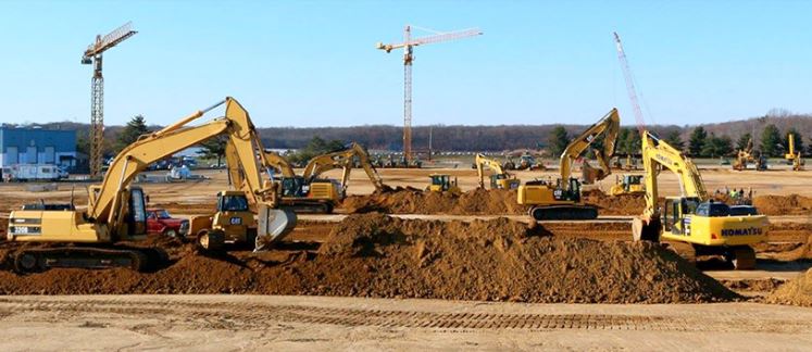
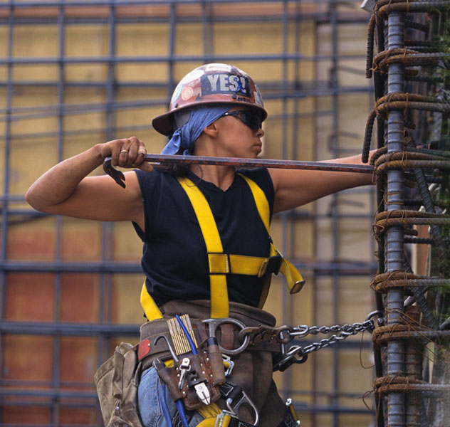
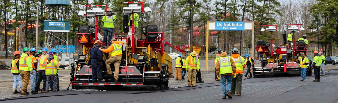
Union members engage in many kinds of work using heavy equipment, including highway and bridge construction.
Q. Overall, what professions does IUOE support?
Aside from heavy equipment operators, our members do construction layout and surveying for infrastructure projects. Several members work as mechanics/product support for machinery product lines including Caterpillar, Deere, and Komatsu.
Q. Before we delve into your new IUOE program with Hudson County Community College (HCCC), please tell us, based on your experience, if there is a lack of awareness– especially among women and minority persons – for jobs/careers in the highway construction industry?
The lack of awareness for construction careers reflects a multi-tiered situation. In contrast to those residing in more rural areas, prospective job candidates residing in urban areas typically live “vertically” in high-rises and thus are familiar with professions including plumbers and electricians but not so much the work of operating engineers. They are not typically exposed to professions utilizing heavy machinery.
For the last seven years, I have reached out to political and community leaders in several NJ cities to try to develop a direct-entry program that would bring training opportunities to those communities for jobs that are semi-skilled or lower-skilled. The goal was to work collaboratively with community leaders to create a pipeline for young people to enter the workforce as operating engineers. To operate heavy equipment, one needs hands-on training. Our training facility is on the Turnpike in Middlesex County, which is difficult to access for anyone without a car. In one city, we proposed that we set up basic courses, including OSHA 30-hour construction training and Hazardous Material training, in a school, or faith-based or community center, and we would send an instructor. The participants would be working locally during this time, earning money and accruing benefits. When the trainees had acquired some basic training we would then send the simulator to that location and these individuals could start to acquire hands-on training. After 18-24 months of paid training, they may be able to purchase a vehicle and thereby access the training center. Or we might be able to partner with a faith-based or community center to work out a transportation plan for those facing transport obstacles. I proposed this concept in four NJ cities but, frustratingly, did not receive any positive responses.
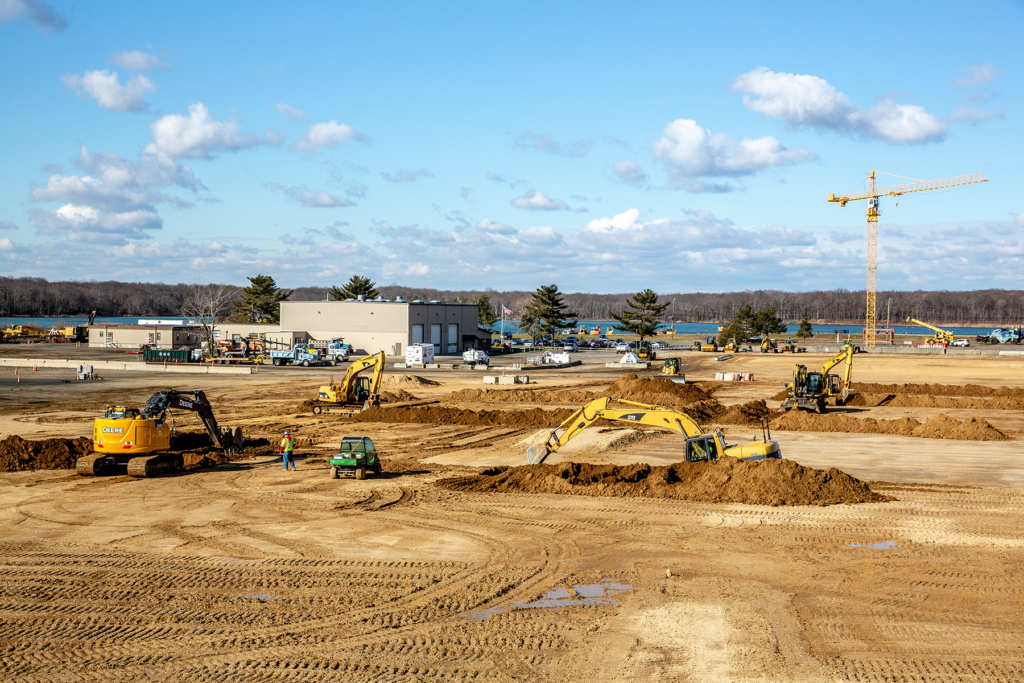
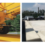
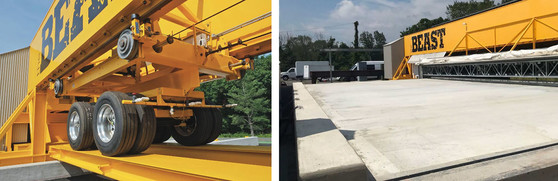
IUOE Local 825’s 61-acre training center is located at exit 8A on the NJ Turnpike.
Q. Several commonly cited roadblocks to entry into the construction sector, particularly for women and minority candidates, include transportation issues and childcare. What strategies could help to address these issues?
Both transportation and childcare issues can be roadblocks to entry into the construction sector. One of the reasons we pursued the NJ PLACE 2.0 grant with a higher education partner was to open the door to Pell grants to underwrite transportation or childcare costs through existing grant funding opportunities that a traditional union apprenticeship would not be eligible. In the past year we received accreditation as a standalone licensed technical college to help us open the doors to more job candidates. As we pursue programs in higher education, we can now take advantage of not only NJ Department of Labor grants, but NJ Department of Education grants as well.
Q. Do you see a role for unions like IUOE in helping to reduce barriers for women, minorities, and others in entering the highway construction trades?
Recently, the Operating Engineers fought to have highway construction work be subject to project labor agreements (PLAs). When it was written twenty years ago, the original legislation exempted this field from these agreements. We retooled the legislation to include much more aggressive percentages of women and minorities required on projects and helped to secure its passage by the legislature. These percentages now apply to any construction project with a value of $5M or more. However, since the law was passed and signed by the Governor in April 2021, the State has not used a PLA on any project.
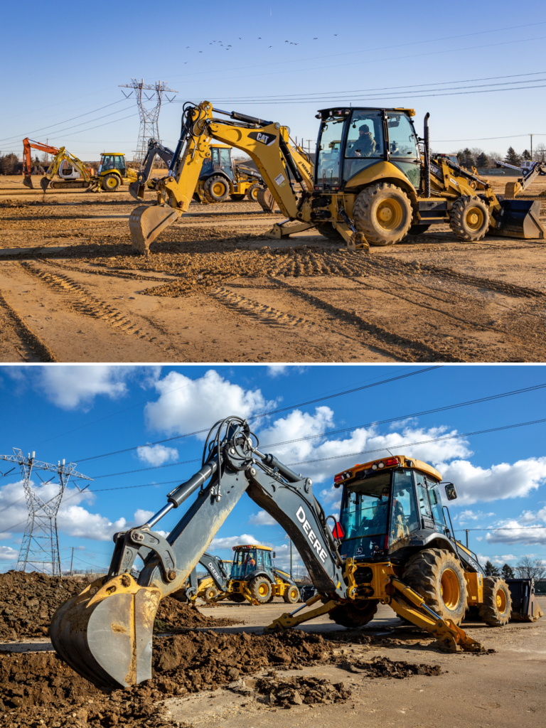
On-site heavy equipment operator training at IUOE Local 825’s training center.
Participation numbers for female and minority employees on these publicly-funded highway projects are generally set on a county-by-county basis by NJDOT. One of the reasons we strongly support inclusion in PLA is because when our contractors secure a publicly-funded highway job, they often contact IUOE to request our assistance in reaching these goals. We respond affirmatively, but when we offer to help with this recruitment, follow-up from contractors is not forthcoming. The reason is that these participation numbers are goals, not mandates and it would be difficult to make them mandates.
There is a false perception that unions don’t have their doors open to all, and that there is not equity or diversity amongst the ranks. We actively recruit people from the non-union world. However, in the 21 years since I was hired by IUOE, we have only encountered two men of color and one woman working non-union jobs operating heavy equipment. There are few women and minorities working non-union operating equipment; it seems that there is not a real draw to this occupation. So the issue is broader than just the unions.
About five years ago, the number of paving projects in the State was increasing and we saw that our front line paving operators were aging. To address demand, we recruited 36 candidates to join a full-immersion paving training initiative. With paving shut down for the winter, we were able to hire and bring in seasoned major paving contractors as instructors during their off-season. The participants were instructed on one piece of paving equipment for 14-weeks until we knew they could run it proficiently. They were then absorbed by the paving industry for high-paying work during the summer and were brought back each winter over a five-year period to learn another piece of paving equipment. It’s not an apprenticeship program so we were not bound by apprentice rules, but we were able to train a diverse group. Of the 36, over one-third were minorities and women, and one-third were veterans. None of these people were associated with our union. In all, while the paving industry is unique, and our training school had the capacity to respond to this particular need, it represents an example of how thinking outside the box and proactively recruiting targeted groups can be very successful.
The IUOE Local 825 training facility occupies 61 acres where journeyworkers and apprentices can train on a large array of heavy equipment.
Q. We have heard that pre-apprenticeship programs are growing in popularity across the country. Are you aware of any pre-apprenticeship programs for the highway construction trades in NJ?
Pre-apprenticeship programs are not growing in the highway construction trades, but are happening in the building trades. I have concerns though with the pre-apprenticeship programs that I am aware of. For example, some pre-apprenticeship programs offer testing help that provide individuals with tutors to teach them how to pass the union apprenticeship written test. The percentage of these students who are actually admitted into the apprenticeship program does not appear to be that high however. Candidates are ranked by test score, so those that receive testing assistance might secure an interview, but they typically score lower in the written portion of the apprenticeship exam compared to their peers and thus do not advance. Overall, the competition for these positions is fierce.

The Earn & Learn program was funded by a NJ PLACE 2.0 grant through the NJ Department of Labor.
IUOE Program with HCCC
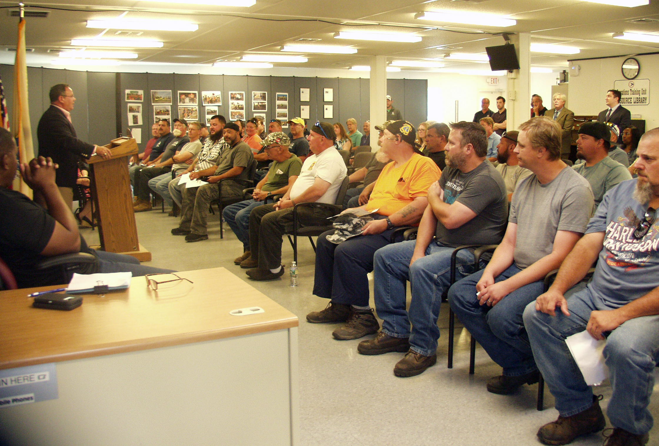
Q. We know the Earn & Learn program orientation with Hudson County Community College was a few weeks ago [in January 2022]. How is program implementation going so far?
We understand that all 30 students are still enrolled and thriving. This cohort includes 10 minorities, 6 women, and 6 veterans so this is an opportunity to support diversity. For many of them, this is a continuation of their college education, and some are eager to pursue an occupation where they will earn $80-100,000 a year. The NJ PLACE 2.0 grant supports inclusion of a success coach to help keep the students on track, which is helpful. The students will be at our training center in May to begin traditional operating engineer training in the classroom and with equipment.
Q.Will all of your apprentices go through this program in the future, or are there multiple paths to a career in construction?
We have our own very competitive apprenticeship program with 160 people. There’s been a lot written about a skill gaps and a worker shortage. We want to develop a new apprenticeship model and have hired an academic who will begin working with us this spring to help develop some new apprenticeship tracks.
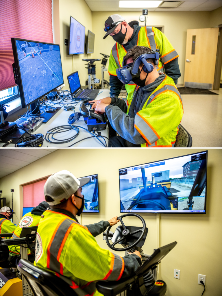
Students gain hands-on experience at IUOE Local 825’s NJ training center.
We have had a successful process for soliciting apprenticeship applicants in the last two traditional application cycles. There is a date and time when applications are available and the first 250 people in line receive one. The opportunity is posted on the Tuesday after Labor Day. We advertise in the paper and on social media. We have candidates lining up for a week ahead of time. For the Earn & Learn program with Hudson County Community College, the on-line application was opened and the portal had to be shut down in two hours due to the high response.
One gap we are eager to bridge is from the Vo-Tech programs to our apprenticeship program. Individuals have to be 18 years old and a high school graduate to enter an apprenticeship program, but some students are 17 when they graduate from Vo-Tech so we lose this cohort. We are trying to harmonize the end of Vo-Tech education with the beginning of an apprenticeship. Traditionally, our apprenticeship program begins in April. For the Earn & Learn program, we changed the start date to January to align with the academic calendar. Any changes to our apprenticeship programs must be approved by the federal government. Sometimes this process means that we can’t move as quickly as we would want.
People will tell me they can’t find workers, but we can get people; there is a lot of interest in our Operating Engineers apprenticeship program. Several of the other trade union apprenticeship programs are very competitive as well, including the Carpenters and the Ironworkers. The Carpenters union had an arrangement with East Brunswick Vo-Tech for direct entry to the union apprenticeship program for up to three students upon graduation from the carpentry program. The Vo-Tech sends students who are well-prepared and likely to succeed. I am trying to mirror that arrangement with Middlesex County Vo-Tech Career and Technical Education program.
Q. Do you see IUOE Local 825 collaborating with other institutions on similar programs in the future?
Absolutely and with multiple higher education partners and members of the business sector whom we have not yet identified. Hudson County Community College has a construction management program that offers 6-8 courses that build the “perfect operating engineer” and HCCC’s Lori Margolin and I are discussing how we could organize those courses together into a different type of degree program in the future. There are existing programs at other state education institutions that we have been considering as well. We might be able to take advantage of remote learning opportunities.
IUOE 825 will continue to look for opportunities to collaborate with HCCC and other higher education institutions.
We are also very interested in the transportation-related activities at Rutgers-CAIT (Center for Advanced Infrastructure and Transportation) and testing on bridge work. Rowan University has ongoing asphalt research and recently visited the IUOE training center to see if they could use some of the area for asphalt testing and of course we would support that.
Every year, we have a full-immersion asphalt paving class. A major manufacturer of paving equipment has been visiting our site in the past week teaching our journeyworkers and apprentices about the latest technology on their equipment. We have the equipment dealer with the product support staff and mechanics participate and share the service bulletins and the new information. And the dealers get the word out to members of the broader construction community who can attend these events.
These are ways we will continue to collaborate with the educational world and the business world in the future. We can leverage our 8,000 members, 1,400 employers, 120 pieces of heavy equipment, and 61 acres in New Jersey and 51 acres in the Hudson Valley. We have the laboratory and want to establish synergies and diverse partnerships to support the industry.
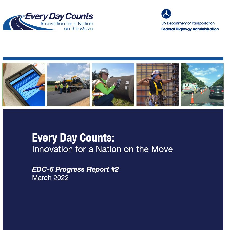
As the burgeoning field of automation and robotics for heavy equipment grows, I sit on an IUOE International subcommittee where we are discussing the skill sets and training needed to prepare an individual to be a successful remote equipment operator or REO. We can work with the computer engineers to let them know what aspects of heavy equipment operation may not be transferable to computers and what alternatives there might be to support their efforts.
Looking Ahead
Q. What strategies should be pursued to encourage more New Jerseyans to consider a career in the construction industry? Who should be leading or involved in those efforts?
A key reason why our organization migrated toward the higher education piece is because we believe that we will secure a more diverse population of job candidates by doing so. Specifically, offering an avenue to earn an Associate’s degree is helping to increase awareness for construction and operating engineer careers.

Students in Somerset County’s MEAM program participated in an Operating Engineer Awareness program and IUOE’s training facility.
Moving forward, our long-term goal is to implement more of a college application process rather than continue the traditional apprentice application process. We are also seeking partnerships with the Vo-Tech system since most of the traditional high schools do not have programs that align as well with our goals and needs.
I am on the Board of Somerset County Vo-Tech and my daughter is a guidance counselor at Middlesex County Vo-Tech so we know the system fairly well. We wanted to provide students from Somerset’s Mechatronics, Engineering and Advanced Manufacturing program (MEAM) an opportunity to learn about IUOE and visit our campus. In academic parlance, our program fits in the Advanced Manufacturing sector. I worked with the superintendent to secure a small grant for an Operating Engineer Awareness program at Somerset. We developed a curriculum to introduce the students interested in construction to the occupation of construction engineer, and transported the students to our campus to see and experience the equipment. We are also helping the district with OSHA training, and with welding, and are seeking other opportunities to work together. Ocean and Hunterdon Counties have Equipment Operator programs that are simulator-based but we have not yet received a lot of interest from them in working with us. East Brunswick Vo-Tech is very close to our campus and we have students visit from there as well.
Q. Through their on-the-job training and supportive services program, NJDOT is exploring ways to work with contractors, contracting associations, and unions on shaping their future workforces, by focusing on training and recruitment programs aimed at women, minorities, and others. Do you have any thoughts about how NJDOT might pursue this goal?
NJDOT should consider implementing several model project labor agreements, collaborating with the different trades, with all participants making a concerted effort to increase the number of women and minorities on a project. The outcome of this effort could be presented as a showcase and best practice example statewide. It is important to recognize that when we set the hiring goals to include a certain percentage of women and minorities, we have to plan to engage in a collaborative effort with the successful bidding contractor to reach those goals. Rather than penalize a contractor if they experience challenges in achieving the diversity goals, we need to determine strategies for how to reach them and secure their buy-in to reach these diversity goals.