What is Collaborative Hydraulics: Advancing to the Next Generation of Engineering (CHANGE)?
Advances in hydraulic modeling tools provide a more comprehensive understanding of complex flow patterns at river crossings versus traditional modeling techniques. These two-dimensional (2D) hydraulic modeling and three-dimensional (3D) computer visualization technologies also facilitate more effective communication and collaboration, improving agencies’ ability to design safer, more cost-effective, and resilient structures on waterways.

2D hydraulic modeling software, graphical interfaces, and supporting resources are now available that can be applied to infrastructure design to improve understanding of the complex interactions between river or coastal environments and transportation assets. Recent advances in computer hardware, modeling software, Geographic Information Systems (GIS), and survey practices have made 2D modeling very efficient, intuitive, and accessible to engineers and designers.
In addition, the 3D visualization capabilities of these modeling tools aid in communicating design results and implications to a variety of stakeholders through intuitive and visually rich graphical output.
NJ Pilots Collaborative Hydraulics (CHANGE)
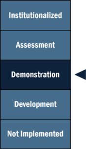
 Stage of Innovation:
DEMONSTRATION (January 2021)
CHANGE was first introduced with EDC-4 and continues into EDC-5. NJ made significant advances during its first iteration and continues to advance the initiative:
Completed Four Pilot Projects. NJDOT staff and consultants developed Sedimentation and River Hydraulics 2D (SRH-2D) models that explored the following: fluvial floodplain analysis only (no bridge/culvert), fluvial culvert/bridge hydraulics with existing/proposed comparison, fluvial complex culvert hydraulics with split flow, and unsteady flow culvert/bridge hydraulics with tidal tail waters.
Presented and Documented Findings. NJDOT shared technical results, users' modeling experiences, potential benefits, and obstacles of the pilot projects at the NJ Association of Floodplain Management conference. They also are putting together a document with lessons learned and recommendations for program updates.
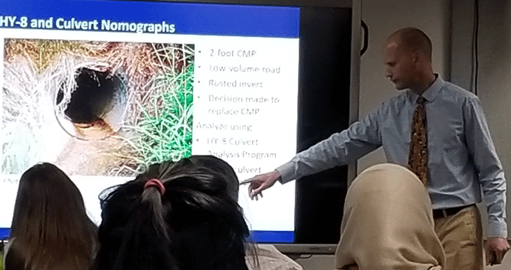
Participated in Peer Exchange. NJDOT Hydrology and Hydraulics Unit staff members attended a SRH-2D Northeast Peer Exchange Review in New Hampshire in October 2019. These staff members then presented an overview of current SRH-2D practices to NJDOT Geotechnical Engineering staff.
What's Next?
NJDOT will evaluate the use of 2D-informed 1D analysis for specific projects and present the results to NJDEP as part of permit applications, and will train NJDEP staff on the use of the program. They will assess what additional projects should be modeled using SRH-2D models for floodplain analysis and scour. Due to COVID-19, scheduled plans for in-person SRH-2D training in NJ were cancelled and efforts are being made to reschedule as remote training.
CHANGE: NEW & NOTEWORTHY

